
Cruisin’ for a Brewsin’ (184/65km)
- RideGravel.ca

- May 10, 2021
- 5 min read
Updated: Feb 8, 2022
Route Author: Tiago Varella-Cid
Location: Creemore, Simcoe County, Ontario
Estimated Gravel Time: 60%
Full Route Map:
Distance: 184.4km (115 miles)
Alternate Route (65.4km): Not ready for a full brewsin'? This shorter alternative provides riders with the opportunity to sample one of the best sections of the loop, just south of Georgian Bay. Download GPX File.
Suggested Tire Width: 40mm
Amenities: Creemore, the route’s official starting point, hosts several restaurants/pubs, a grocery store, two convenience stores and the famous Creemore Springs Brewery. There is a country market in the hamlet of Revenna, approximately 78km from the start, which carries a selection of freshly baked goods. The hamlet of Kimberly, just off route at the 99km mark, has a quaint general store. Meanwhile, just prior to the 112km mark, the town of Eugenia (slightly off route), includes a variety of amenities and a public beach. Otherwise, just 8km later, the loop passes through the village of Flesherton, which hosts several resupply options, including the Bicycle Cafe. Finally, Giffen’s Country Market just outside Glen Huron provides one last opportunity to fuel up before the final push back to Creemore.
Parking: On-street parking can be found throughout the town of Creemore. Off-street parking can be found at Gowan Memorial Park or the Creemore and District Recreation Complex. Otherwise, parking can be found along the south-western edges of the loop, including the town of Eugenia (Eugenia Falls Conservation Area or the Lake Eugenia Public Beach) and Flesherton (Flesherton and District Arena).
Route Description:
This demanding 184km loop features over 2500m of climbing, while showcasing some of the best escarpment surfing in southern Ontario. The roads include a mixture of gravel and unmaintained (the latter requiring a minimum tire width of 40mm), as well as some quiet country asphalt and woodland singletrack. Looking for a challenge? Attempt this route over the course of a single day, with the goal finishing with pint at the Creemore Springs Brewery before it closes at 6:00pm (5:00pm Sundays). Otherwise, the loop can be savoured as an intermediate level bikepacking trip over the course of a weekend, in preparation for taking on the Butter Tart 700.

Starting from the town of Creemore, proceed across the Mad River and head south on gravel as the route climbs steeply out of town for approximately 3km before eventually heading west and descending through Noisy River Provincial Park.

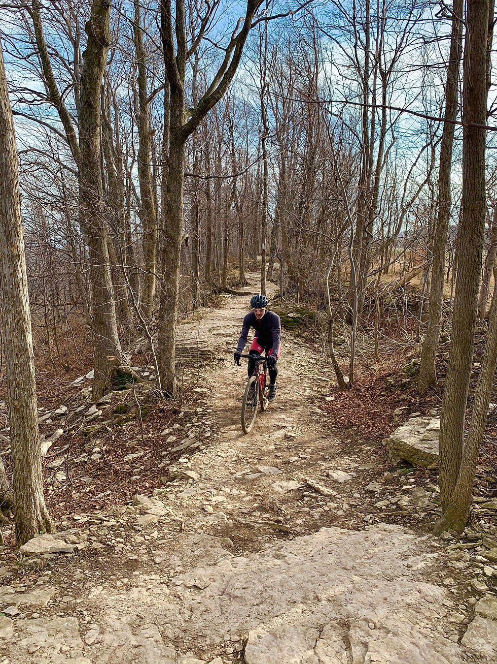
Shortly after leaving the park, the loop continues north along mostly quiet country pavement for approximately 7.6km, passing through the hamlet of Dunedin, before climbing steadily toward Sideroad 15 and 16 Nottawasaga. Make a left here as the route returns to gravel, followed by a right onto forested single track to the summit of the escarpment and across the top of Devils Glen, featuring open vistas and views of Georgian Bay.

Upon exiting the single track, the route returns to gravel and continues west to the village of Singhampton. From here, bear west on gravel via Concession 8B, before heading north on asphalt to the hamlet of Rob Roy. At this point, the loop swoops down through Pretty River Valley Provincial Park along a gorgeous stretch of treelined asphalt. But have your climbing legs ready here, for a steep and steady ascent awaits. Featuring several false summits, a small water crossing, and a couple of brutal 14% inclines, this section of gravel will challenge riders to make it to the top without stopping for a breather.

After descending to Grey County Road 19, the route returns to pavement briefly before making a right onto Castle Glen Estates. Continue past the private property signs (posted to protect owners from liability, as this is a popular hiking trail) to a small lake just before the ruins of Osler Castle. The fun continues as riders follow some splendid double track through an enchanted beechwood forest before eventually exiting via Sideroad 12.

Continue to the top of Blue Mountain and follow a series of dirt trails for approximately 4km, passing the second ski hill vista of the day, before returning to smooth country tarmac via Side Road 21. Eventually, the loop makes a left and meanders south to a short section of the Bruce Trail. As this section is popular with hikers, please respect other users and walk your bike when encountering pedestrian traffic, especially down the steep twisty descent towards the end.

Upon exiting the trail system, the route remains on a mix of gravel and pavement before eventually reaching the Ravenna Country Market at kilometre 78. This is an excellent spot to grab a quick bite and refill those water bottles before continuing on a series of rolling hills south-west past the bottom of Metcalf Rock, a popular rock climbing area.
Remain on dirt for the next 10km as the loop passes the top of Old Baldy Conservation Area, another popular climbing area (a short detour to the left here leads to a nice vista). Caution ought to be exercised when descending from Old Baldy, especially if you have narrower tires, as the gravel road here is steep, loose, and dusty. Upon reaching the bottom, the Kimberly General Store can be found just a kilometre off-route to the south. Otherwise, cross Beaver Valley Road as the loop transitions back to gravel just prior to the 100km mark and the start of a steep ascent to the other side of the valley. Hitting a maximum gradient of 14%, it’s quite possibly the hardest climb of the day.

Upon reaching the top, the route plateaus and continues on quiet asphalt for just under 7km, before a steep descent brings riders to Lower Valley Rd. Turn right here and continue on this scenic stretch of treelined gravel, climbing steadily for approximately 10km to the village of Flesherton. At the 120km mark, this village makes for an ideal rest stop and hosts several options for fuel and fluids, including the Bicycle Cafe. Be sure to stock up, as there won’t be any further resupply opportunities for the next 55km. Flesherton also hosts the only motel on route.

After Flesherton, the loop meanders along a series of dirt and quiet paved roads to the eastern shores of Eugenia Lake. From here, head east along the 10th Concession as the route continues on well maintained gravel for the next 18km to the Rob Roy Management Area and a twisty descent to Pretty River Rd. Here, proceed south, backtracking on an earlier section of quiet pavement before making a left onto the 10th Concession and continuing east for the next 16km, descending to the hamlet of Glen Huron. Anyone in need of one last pick me up before the home stretch are advised to drop by the Giffen’s Country Market. Otherwise, continue descending back to Creemore, where a cold pint awaits.


Just rode the 65k today (Sept 2). Great ride. Definitely some challenging climbs (I hiked the 10 / 12% inclines). The turkey wraps waiting for me in the cooler in the car we heavenly
Any suggestions for an area to camp in order to make this loop a two day ride? Thanks!