
Rouge River Run (115/66km)
- RideGravel.ca

- Oct 18, 2021
- 3 min read
Updated: Feb 1, 2022
Location: Grenville, Argenteuil County, Quebec
Estimated Gravel Time: 70%
Full Route Map:
Full Route Distance: 114.7km (71.3 miles)
Alternative Route (66.2km): By starting from the village of Huberdeau, riders have the option of shortening the loop to a total of 66.2km. This alternative sticks to the northern portion of the original loop and while it misses out on the rapids south of Chemin de Harrington, as well as Scotch Rd.'s unmaintained goodness, it still allows riders to experience the tranquil beauty of the Rouge River. It also manages to avoid the steep climbs that are a regular feature of the southern portion of the full route. Download GPX file.
Suggested Tire Width: 40mm
Amenities: Grenville, the full route’s official starting point, hosts several general stores, a grocery store, a number of restaurants and an ice cream shop. The hamlet of Kilmar includes a small general store/restaurant. Finally, several general stores and restaurants can be found in the village of Huberdeau, the starting point for the shorter Northern Rouge River Run.
Parking: Several parking options are available. For those starting in the town of Grenville, some on-/off-street parking can be found on Rue Tri-Jean near the city hall, as well as some off-street parking in the dirt lot beside the baseball diamond off of Rue Principale. Ample on-street parking can also be found on Rue Principale in the village of Huberdeau, as well as the Parc Municipale de Boileau. Finally, the route map highlights two small trailhead parking lots associated with the Aérobique Trail south of Huberdeau.
Full Route Description:
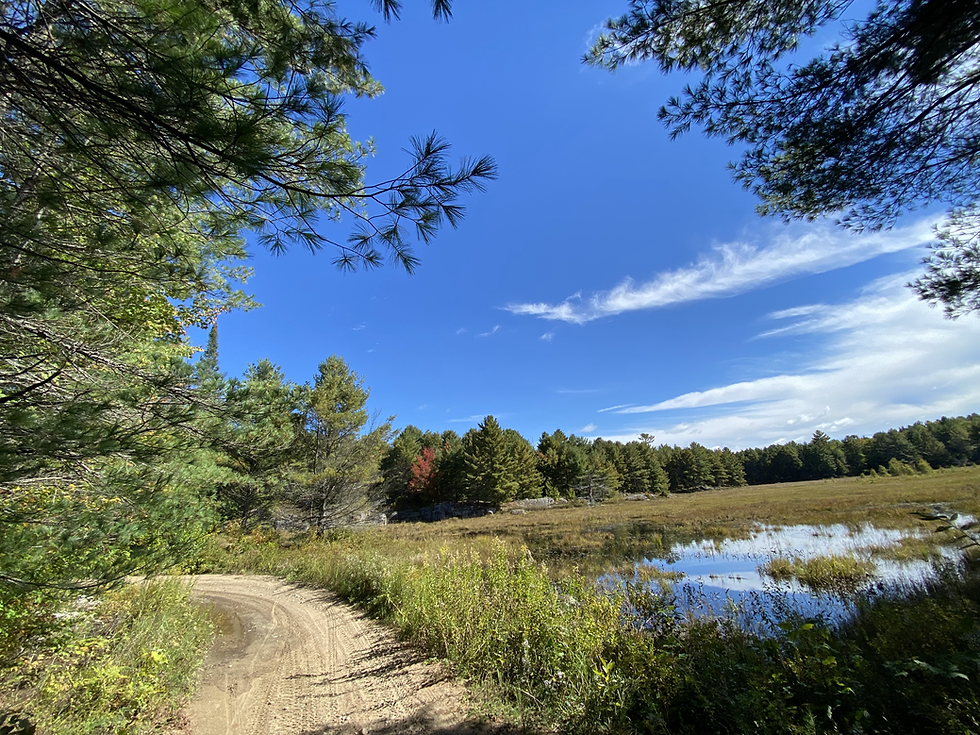
This enchanting 115km loop parallels the banks of the Rouge River as it meanders north from the Ottawa River to the foothills of the Laurentian Mountains.

Starting from Grenville, exit the village via Rue Maple and continue on the paved shoulder north, underneath Autoroute 50, as the road transitions to Chemin Scotch, becoming narrower and noticeably less busy as riders begin their steep push up the foothills of the Laurentians. Maxing out at just over 10% over the course of 1.5km, this ascent will certainly have your climbing legs put to the test!

Following the steepest portion of the climb, leave the pavement behind as Scotch Rd. shifts to gravel before abruptly changing to a lengthy section of unmaintained. While this 6.5km segment isn’t particularly challenging, it does contain a number of sandy and eroded sections, which will make some of the climbs slightly more technical.

Upon reaching Lac Wilson, the route reverts back to maintained gravel and heads north-west to Chemin Kilmar. Make a right here as the loop remains on a mix of pavement and gravel, before shifting exclusively to asphalt for the next 6km upon reaching the hamlet of Kilmar. Shortly after Chemin du Mont Oeler, the loop decends on dirt via Chemin de la Rivière-Rouge to the Rouge River itself.


The next 11km of the loop is one of the trip’s highlights, as riders parallel this gorgeous section of the Rouge River. After passing Chemin Godin, Chemin de la Rivière-Rouge leaves the river behind as it winds its way north-east on dirt for the next 4.6km to the Corridor Aérobique rail trail. Continue north on the trail for a couple of kilometres to the village of Huberdeau, the route’s final resupply point.

Double back on the rail trail and head south, following this gorgeous segment of rail trail along the banks of the Rouge River for the next 8km, past a delightful beach, to Chemin de Gray Valley. Exit the rail trail here and remain on a series of dirt roads for the next 13km as the loop continues south-west to the hamlet of Boileau.

Here, the route transitions to some lovely car-free pavement for 4.5km to Lac Commandant. Upon reaching the lake, the next 11km the loop shifts back and forth between gravel and asphalt before arriving at a pretty steel bridge across the Rouge River.


After crossing the river, head south on gravel via the Chemin de la Rivière-Rouge, following the banks of this beautiful section of the river (famed for its white water rafting) for the next 14km, passing a second pretty bridge to Chemin Kilmar. Make a right and descend on pavement for just over 10km, following the signs for the Route Verte all the way back to the start in Grenville.


Having done this ride a few times, I strongly recommend avoiding Saturdays in the summer.
The road along the river is VERY busy with private vehicles and school buses pulling raft trailers. Passing you over and over again.
Scotch Road is an absolute mess of loose, sandy gravel and large rocks. Had to dismount and walk my bike on a few occasions as they're just no traction to be had. Makes for a really rough start to the ride but it gets much better later on. Quite a hilly route, even between climbs flagged by my Garmin. I definitely underestimated this route and suffered for it but still had a fun time. If you asked me after finishing I'd have told you I never want to ride it again but a few days later I'm pretty sure I'll be back next year.
Interestingly enough, wikipedia has this to say about the Scotch Road:
"Recently, the road has fallen…
Four of us did the lower half of this route by cutting across on Chemain de Harrington a couple of days ago. Its a great route, though with my 35mm tires, I found there was quite a lot of hike-a-bike in the steep gravel and soft sand for the first half (east side). We will return shortly when the leaves are at their peak to do the upper half which is even better we found last year. Thanks for posting this route.
Just did this ride yesterday! Conditions are great ... I avoided the ride into Huberdeau and just turned around which removed about 5km of distance. It was really nice to see the whitewater kayakers playing.
Le GPX est d'une autre randonnée